
The project report (designed and partially written by Ethan) includes an extensive historic context examining a critical period of urban transformation in New York City between 1963 and 1975, when a confluence of forces — new zoning and land use policies, sweeping social and cultural changes, demographic and economic restructuring, evolving urban planning and architecture ideologies, and rising environmental awareness — dramatically reshaped the city. The city’s waterfront emerged as a particularly dynamic zone of transformation during this period. Once a hub of industrial maritime activity, the waterfront had fallen into decline as containerization, trucking, and automobiles diminished the relevance of the city’s waterways as primary conduits for shipping, commerce, and transportation.
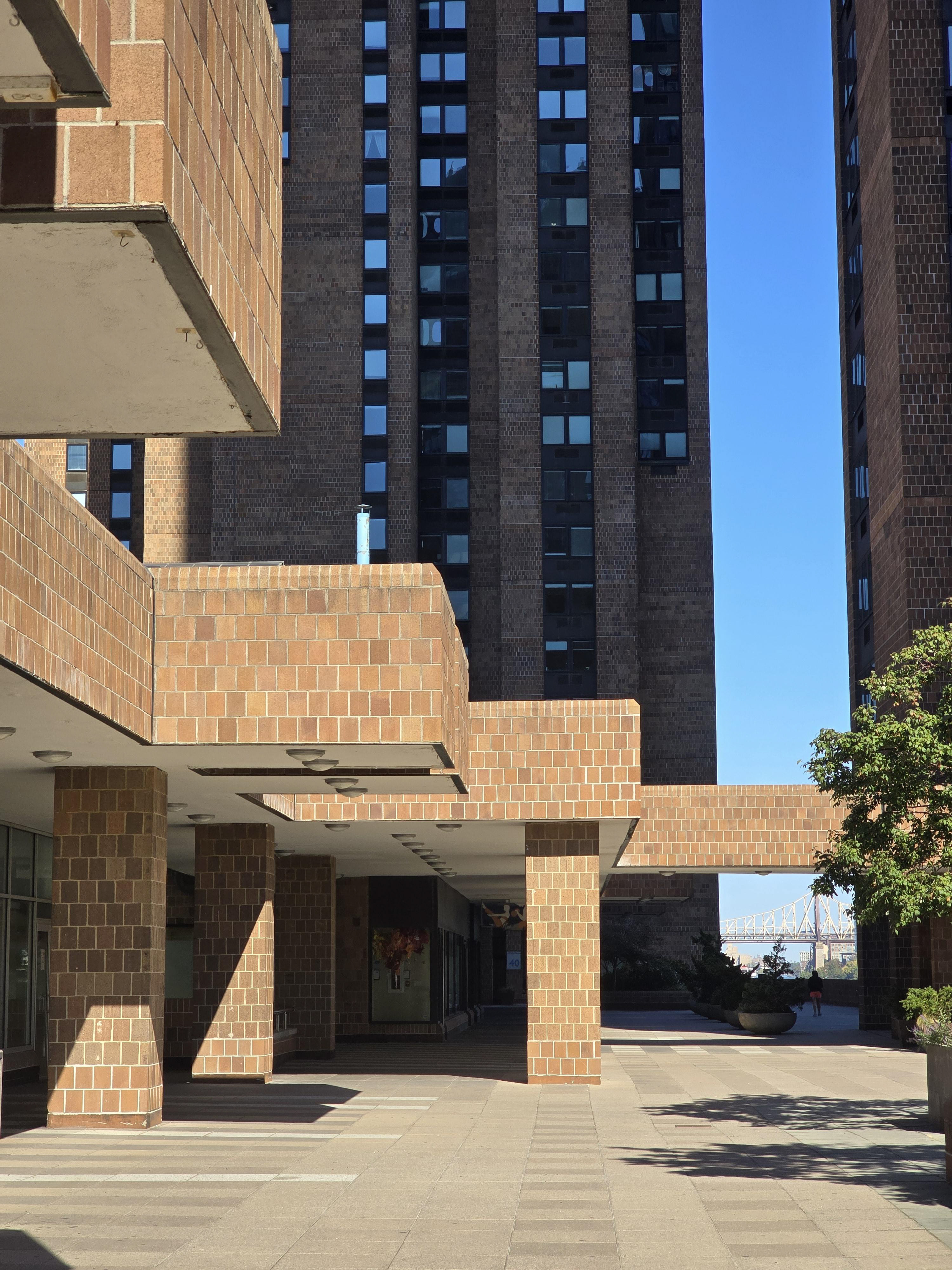
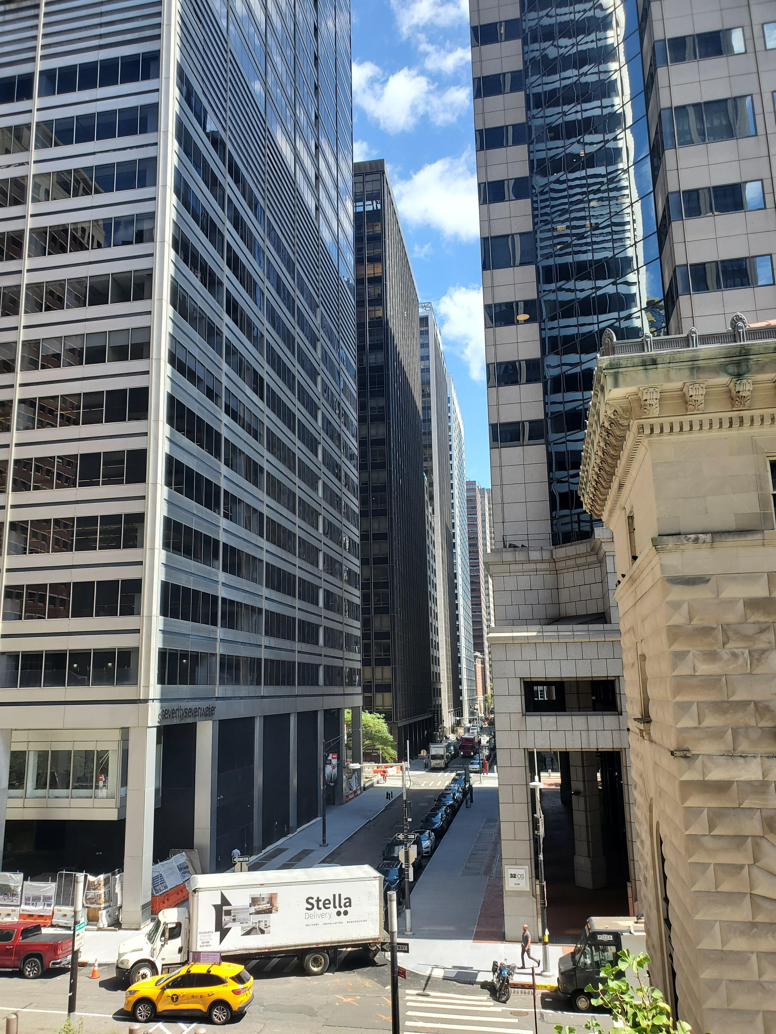
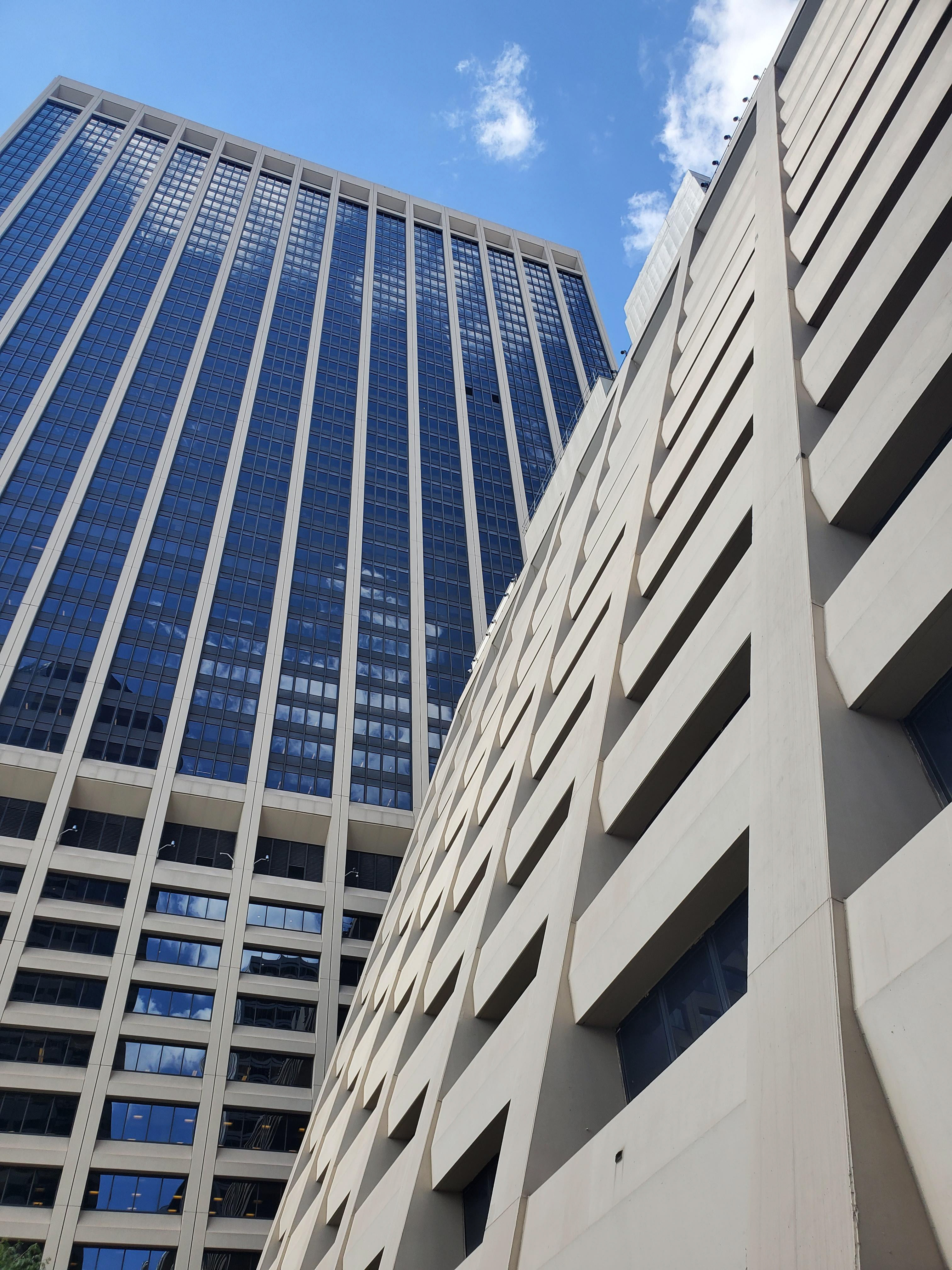
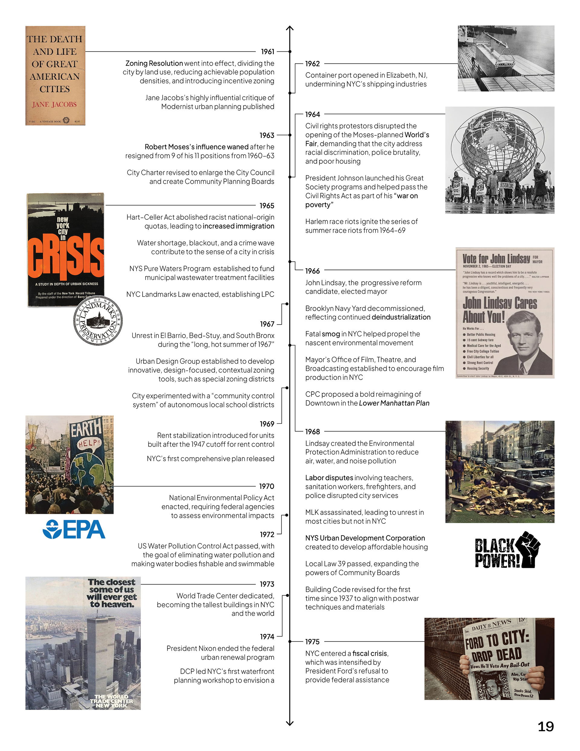
Throughout this period of drastic transformation, some key themes that emerged include the continued auto-oriented suburbanization of the outer boroughs, ambitious land reclamation and overwater construction projects, the development of waterfront parks and recreation, the proliferation of late modern skyscrapers, and an investment in quality social housing. Each of these themes was explored in detail in the report.
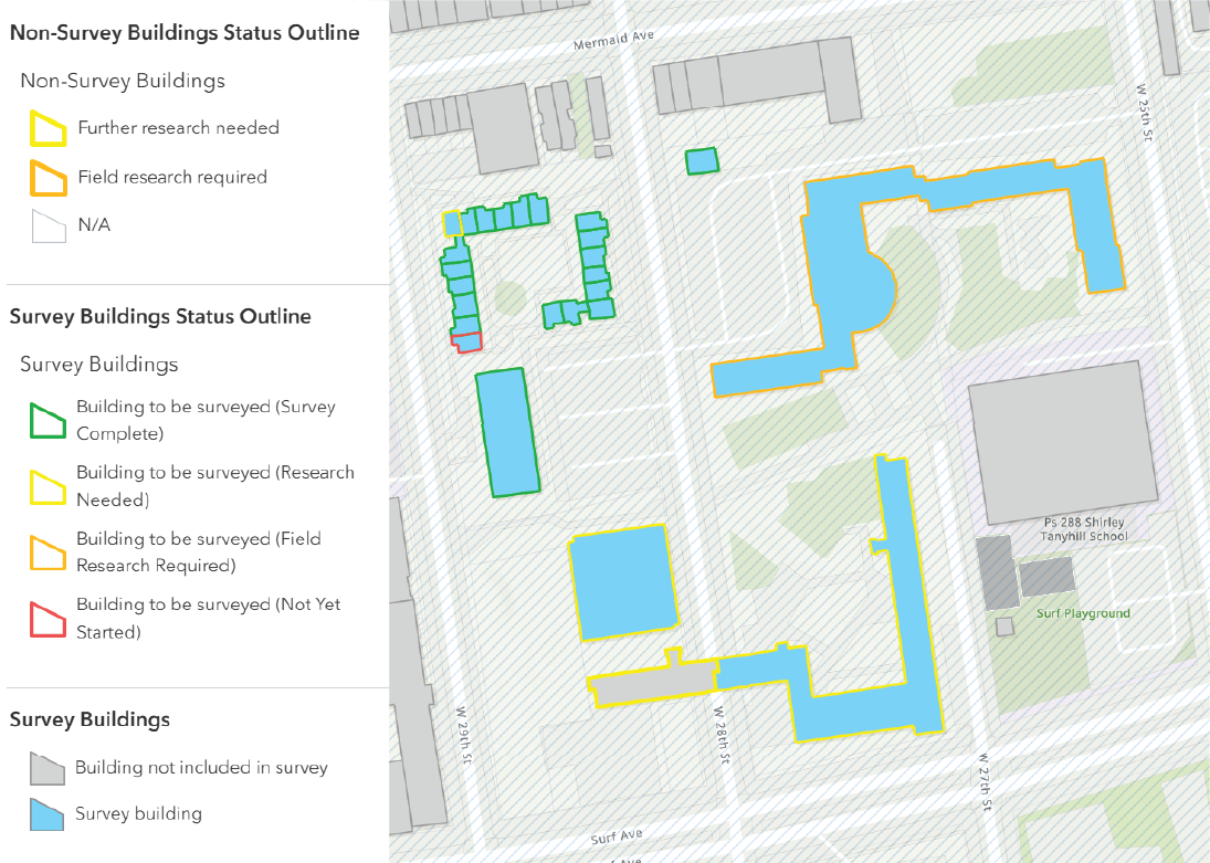
The surveyors used a custom ArcGIS map provided by the NYC LPC to collect survey data. The geodatabase included baseline land use and building information for the nearly 68,000 properties located within the survey area. In addition to the pre-populated fields, several fields were left empty for surveyors to complete, which included architectural descriptors, information on historical significance, and evaluations of integrity and S/NR eligibility.
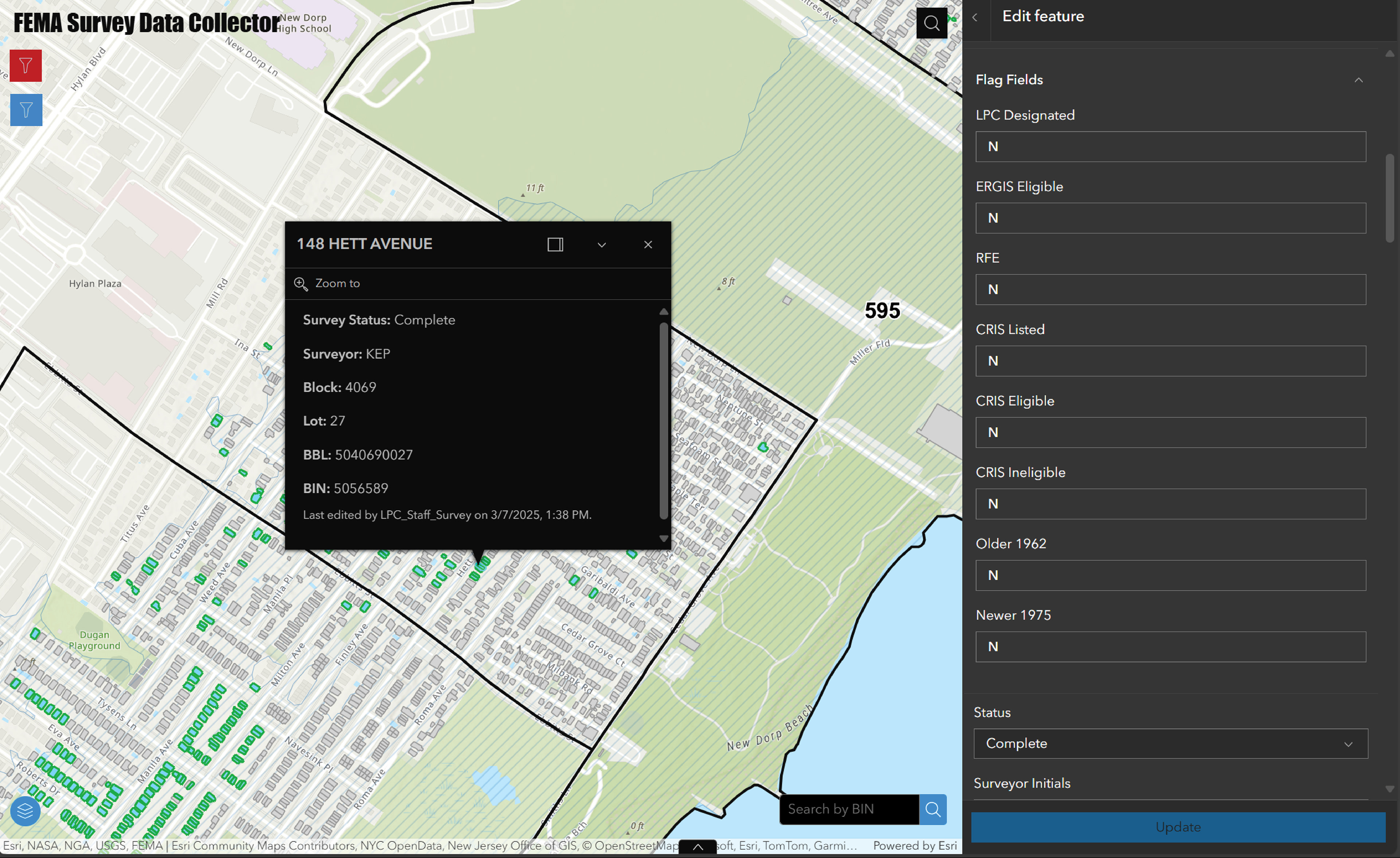
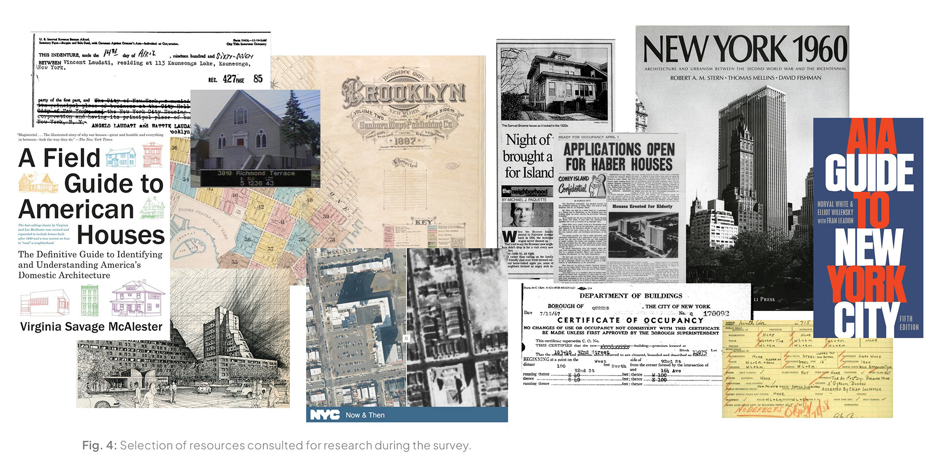
Surveyors conducted cursory research using various online resources to determine each property’s date of construction, architect, historic owner or occupants, and original use. The sources consulted included certificates of occupancy, deeds and conveyances, historic maps and atlases, newspaper articles, and various books, as well as data and reports from previous surveys.
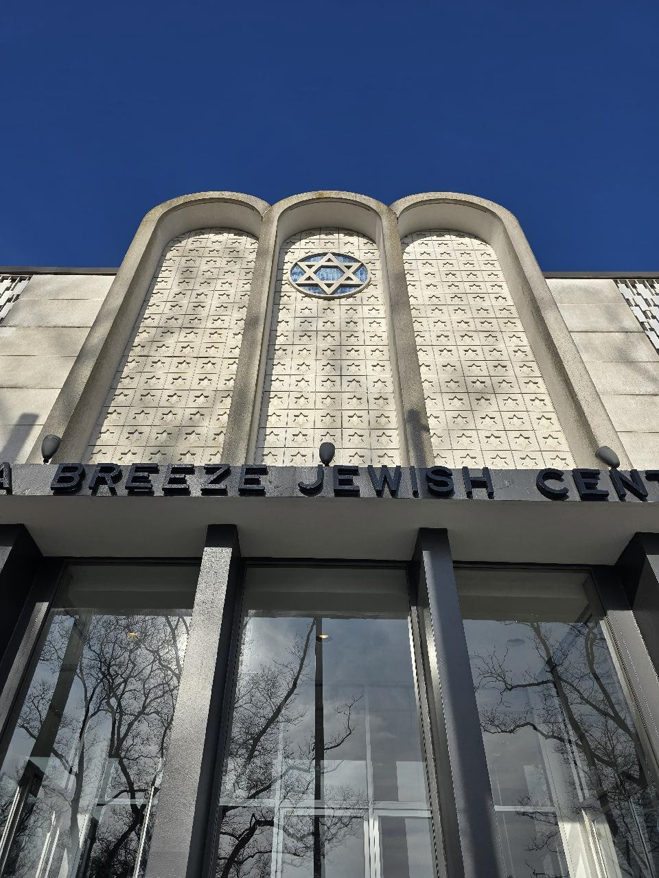
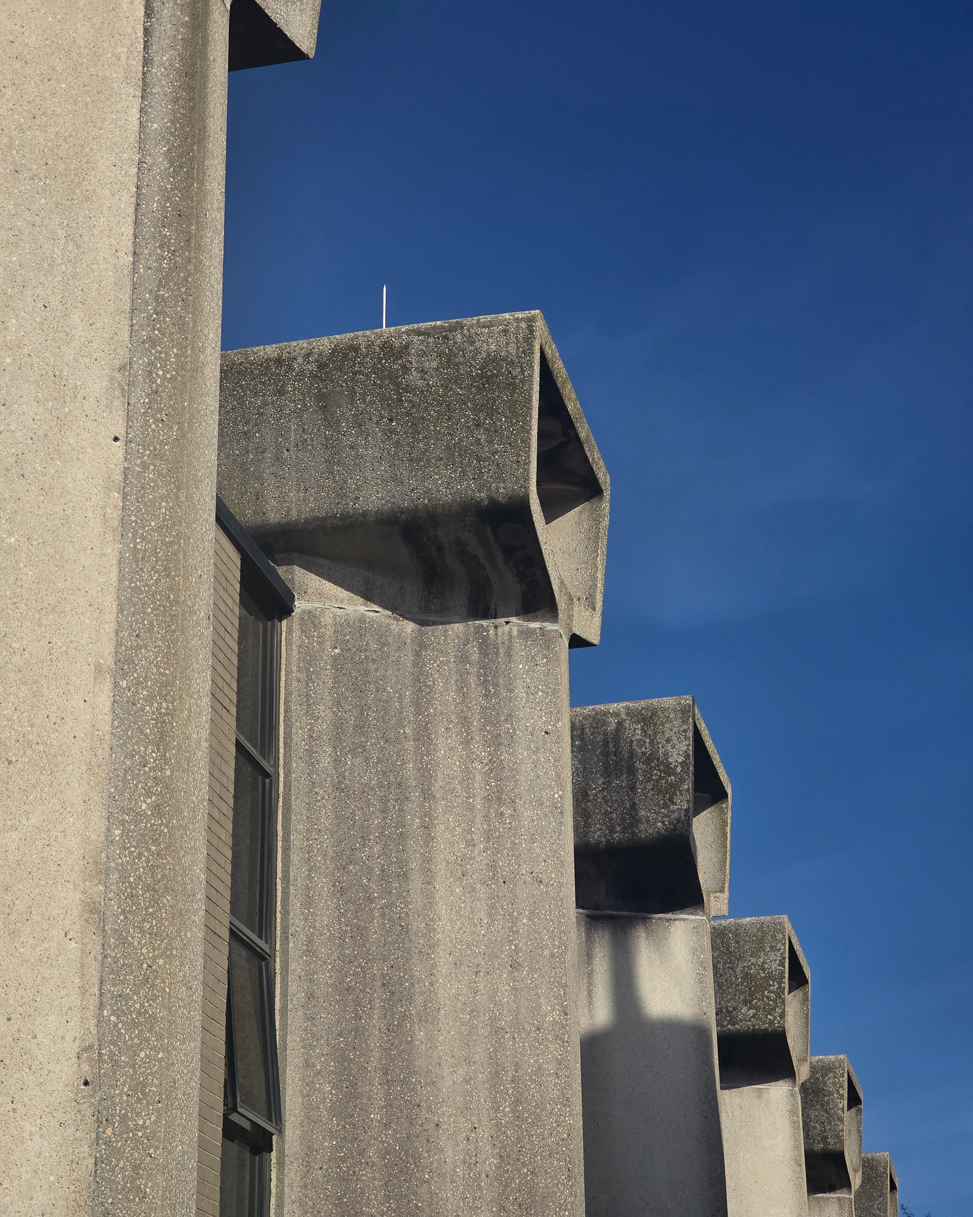
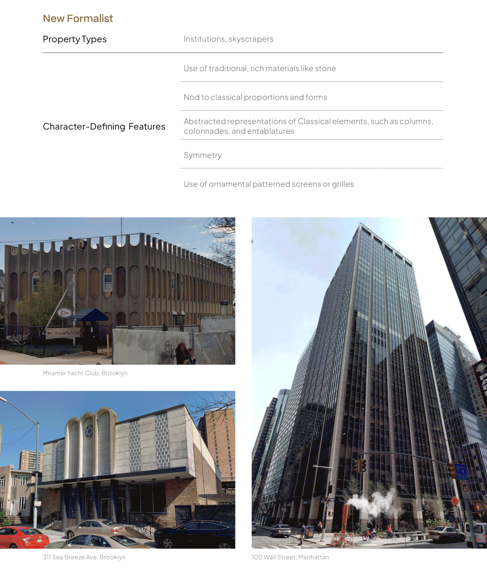
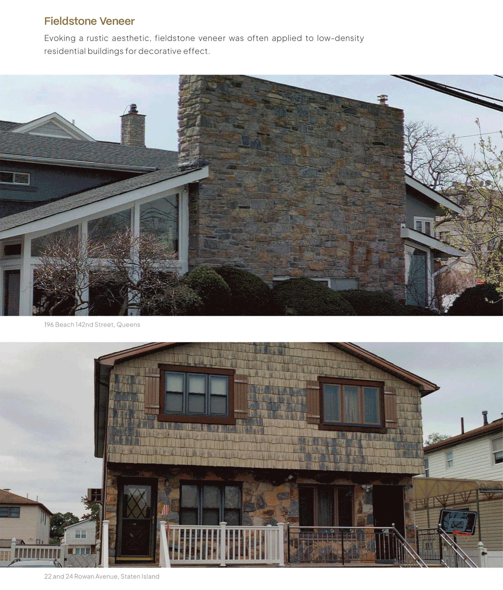
The report included illustrated overviews of the various building types, architectural styles, construction materials, alterations, and visible flood mitigation efforts that were documented in the survey.
Ultimately, the surveyors identified 65 properties that appear to meet the criteria for State and/or National Register eligibility under criteria A and/or C, as well as 147 properties suggested for further research from the NYC LPC Research staff.